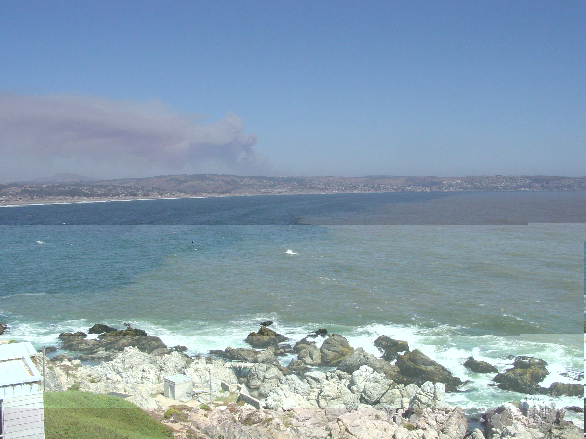
Estación Costera de Investigaciones Marinas
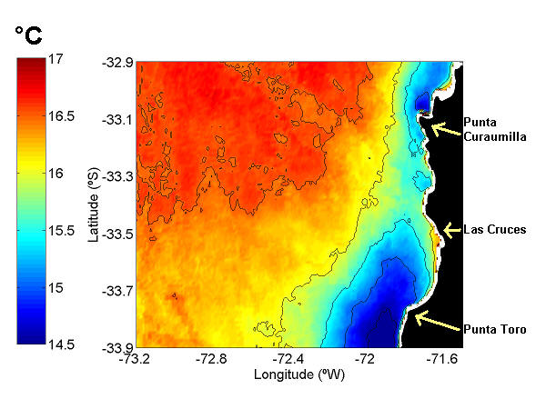
Las Cruces (33° 30’ S; 71° 40’ W),lies between two important upwelling centers: Punta Curaumilla to the North, and Punta Toro to the South (Strub et al. 1998, Wieters et al. 2003). It has been shown that slightly warmer waters tend to be retained in front of Las Cruces, within the Cartagena Bay, entrained by the cold waters upwelled upstream at Punta Toro (Wieters et al. 2003, Narváez et al. 2004). These cold waters are typically driven into Las Cruces area toward the end of an upwelling event, 1-2 days after the onset of upwelling favorable winds (Narváez et al. 2004). Therefore, it has been suggested that the area off Las Cruces is located in an upwelling shadow (sensu Graham & Largier 1997).
The coastal zone off central Chile is characterized by a marked seasonal thermocline from mid October to early April and southerly winds that intensify in spring and summer, producing upwelling of colder waters at some sites along the coast (Narváez et al. 2004, Poulin et al. 2002). General aspects of the dynamics of wind driven upwelling and relaxation and its spatial variability have been documented in some detail for this region (Strub et al. 1998, Narváez et al., in preparation).
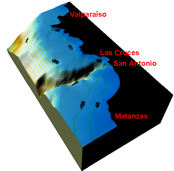
Oceanographic Description of Las Cruces